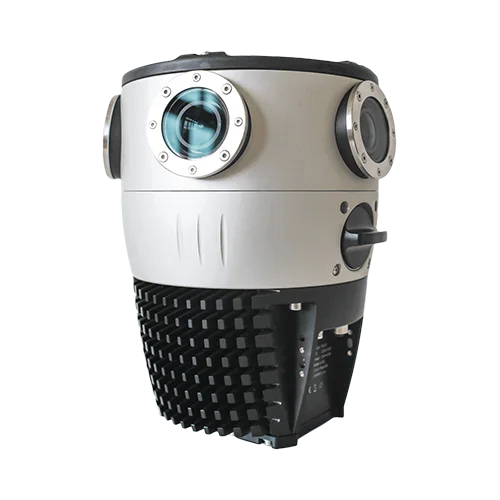


スピード撮影を重視した
モバイルマッピングカメラ
グローバルシャッターによる拡張性の高い写真測量と3Dモデリングを実現する
- 高画質なカメラのみで高解像度の3Dモデルを構築する
- 高密度な点群を作成する
- 写真計測とテクスチャメッシュの3Dモデルを構築する
- 他のスキャンデータと合成時、容易にカラー点群を作成する

1度の計測で高品質の
データを取得できる
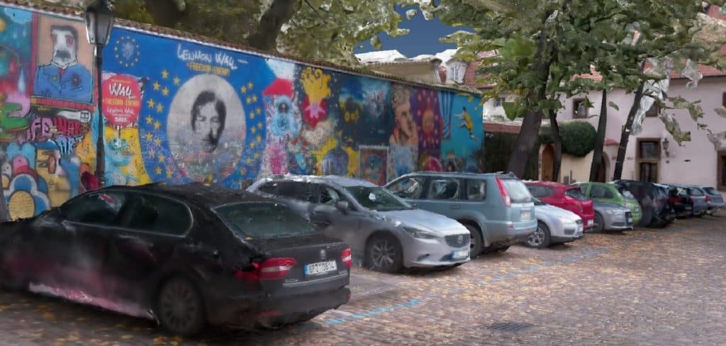
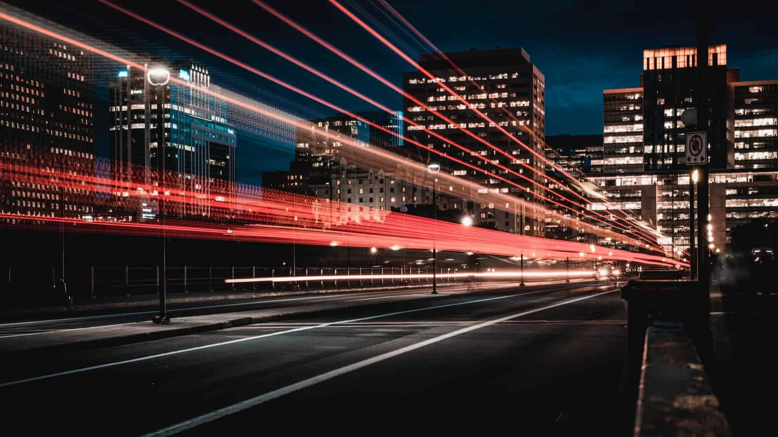
市街地や高速道路を走行し、高解像度の360°マップや3Dモデルに必要なデータを収集する

運用コストの削減と効率化
Mosaic Xは、スタンドアロン型で一人で使用でき、トレーニングはほとんど必要なく、低コストで運用可能

プロジェクトの効率化と売上UPを目指す
より多くのプロジェクトや顧客に対応できる拡張性の高いシステムで、ワークフローの効率化を実現する
Mosaic X、最上位機種としての機能


地理空間情報の専門員が語るMosaic Xの魅力

Technical Manager at Field
To be able to offer higher resolution and better image quality, we’ve added the Mosaic X to that system.

Mobile Mapping & automotive maps expert
I was pleased to see the great image quality that the global shutter sensors have brought to the Mosaic X.
大規模な写真計測業務に活用する

地図・測量会社、インフラ維持管理会社
太陽光と構造物のエッジの間で発生する画像のブローアウトを軽減し、厳しい環境下でも、非常にシャープな写真を取得できる

建築・エンジニアリング・建設(AEC)
データを簡単に取り込み、従来工法の数分の一の時間で、実物そっくりの3Dモデルを作成できる。BIM/CADモデリングとの統合で、業務のスピードアップを図り、現場への再訪問を減らすことが可能

資産管理
高解像度の画像を収集し資産検査に利用、またインフラのデータベースを維持し前年比と比較できる